Super Typhoon Goring out, Severe Tropical Storm Hanna in
Already have Rappler+?
to listen to groundbreaking journalism.
This is AI generated summarization, which may have errors. For context, always refer to the full article.
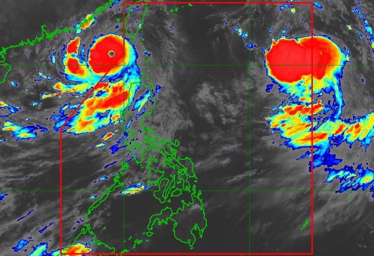
TROPICAL CYCLONES. Satellite image of Super Typhoon Goring (Saola) outside the Philippine Area of Responsibility and Severe Tropical Storm Hanna (Haikui) inside PAR as of August 30, 2023, 11 pm.
PAGASA
The southwest monsoon is still being enhanced by Goring (Saola) despite the super typhoon’s exit, and also slightly enhanced by Severe Tropical Storm Hanna (Haikui)
MANILA, Philippines – Super Typhoon Goring (Saola) exited the Philippine Area of Responsibility (PAR) at 7:50 pm on Wednesday, August 30, while Severe Tropical Storm Hanna (Haikui) entered over an hour later at 9 pm.
The Philippine Atmospheric, Geophysical, and Astronomical Services Administration (PAGASA) said Goring was already 265 kilometers west of Itbayat, Batanes, as of 10 pm on Wednesday.
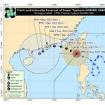
The super typhoon continues to move west northwest outside PAR, but it slightly slowed down to 10 kilometers per hour from 15 km/h. It will be heading for the waters off Guangdong, China.
Goring also maintained its strength, with maximum sustained winds of 195 km/h and gustiness of up to 240 km/h. This has been its peak intensity, so far.
PAGASA expects Goring to eventually weaken into a typhoon on Thursday, August 31; a severe tropical storm on Saturday, September 2; and a tropical storm on Sunday, September 3.
Goring had developed from a low pressure area off Cagayan on August 24. It did not make landfall in the Philippines, but triggered torrential rain and fierce winds in parts of Northern Luzon.
With its exit, there are no